TECHNICAL IMAGING
Mapping & asset inspection
Explore our aerial mapping and asset inspection capabilities.
Watch on YouTube ↗
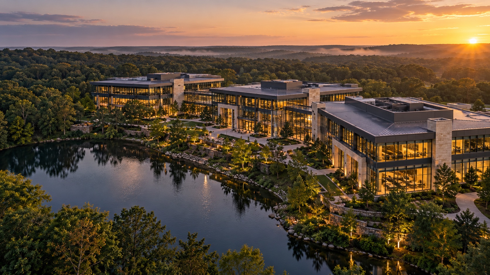
A NEW POINT OF VIEW
Extraordinary imagery. Actionable intelligence.
See what’s possible with Sky360.
01 / THE BIGGER PICTURE
Great aerial work does more than change the view. It tells a story, reveals a detail, and helps you decide what comes next.
Serving clients across Georgia, we bring creative vision and technical imaging together for commercial real estate, construction, facilities, and land marketing and due diligence. From flight planning to the final edit, Sky360 connects the whole picture.
02 / SELECTED PERSPECTIVES
Commercial, thermal, and land media
perspectives from above.
IN MOTION / SKY360 FILMS
Property, land, and asset intelligence.
One complete imaging partner.
TECHNICAL IMAGING
Explore our aerial mapping and asset inspection capabilities.
Watch on YouTube ↗PROPERTY MARKETING
See how aerial imagery brings commercial properties into focus.
Watch on YouTube ↗LAND MEDIA
See land in context with aerial storytelling and parcel boundary visualization.
Watch on YouTube ↗CINEMATOGRAPHY
Explore the creative perspective behind our aerial films and visual storytelling.
Watch on YouTube ↗03 / CREATIVE VISION. TECHNICAL DEPTH.
Compelling visuals for your audience.
Useful data for your next decision.
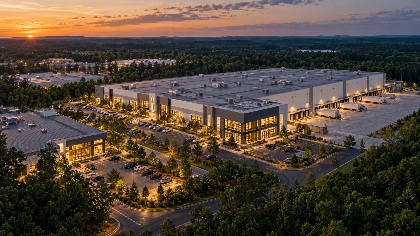
Photography and film that put your property, project, or brand in perspective.
Aerial photography / Cinematography / Construction progressDiscuss a project ↗Show the parcel, explain its setting, and give buyers a clearer picture of the land. Aerial photography and films bring access, terrain, surroundings, and supplied parcel boundaries into context.
Land marketing films / Parcel boundary overlays / Due diligence imageryDiscuss a project ↗Turn an aerial overview into useful context for planning, documentation, and asset management.
Orthomosaics / Terrain capture / Site documentationDiscuss a project ↗Look beyond the visible with radiometric imagery for roofs, solar arrays, and facilities.
Thermal capture / Anomaly identification / Inspection reportsDiscuss a project ↗Explore buildings and sites in three dimensions with connected aerial and ground imaging.
Exterior models / Interior capture / Asset documentationDiscuss a project ↗FROM THE SITE TO THE MODEL
Mapping and 3D capture
for projects across Georgia.
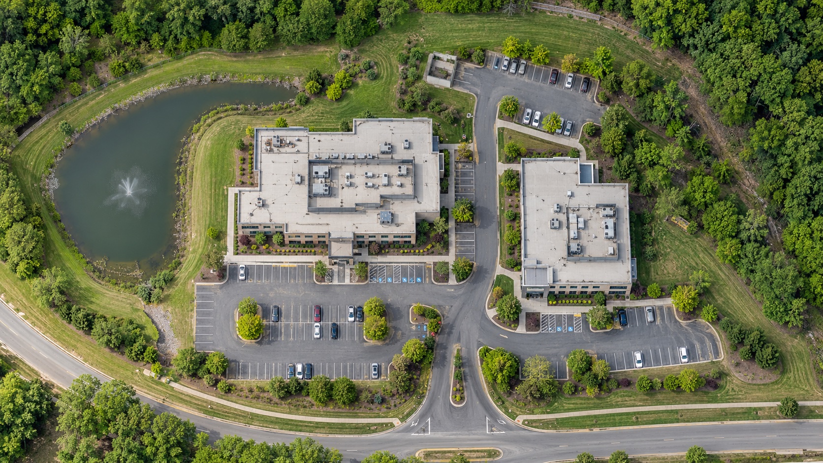
A connected overhead view of buildings, access routes, and surrounding terrain.
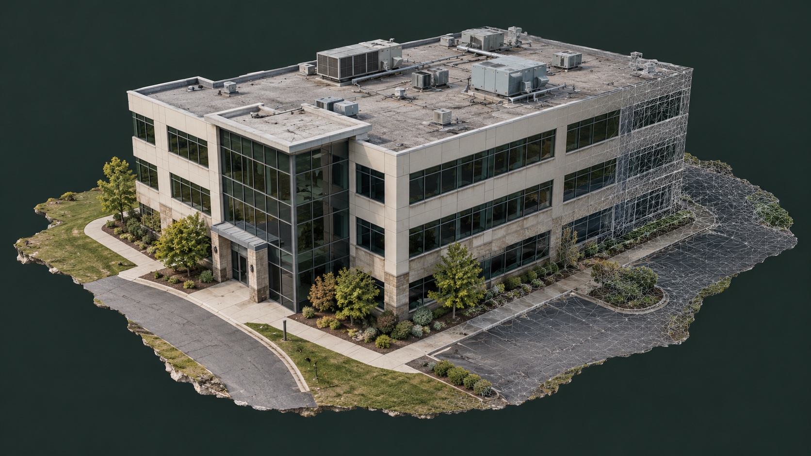
A spatial perspective on building exteriors, roof details, and the surrounding site.
04 / FROM FLIGHT PLAN TO FINAL FRAME
Define your site, goals, and the imagery or data you need.
Coordinate aerial and ground imaging around your project.
Receive edited visuals, maps, models, or inspection reporting.
05 / FIELD NOTES
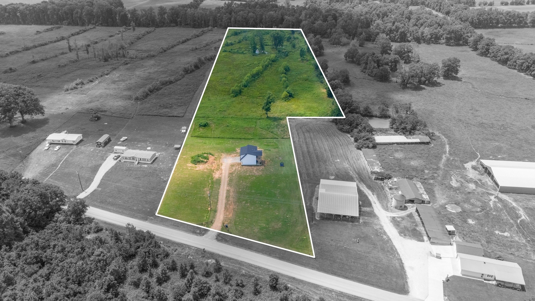
When it comes to marketing raw land, a picture truly is worth a thousand words—especially when it’s taken from above. At Sky360 Aerial Media , we specialize in capturing stunning photo and video content of raw land that transforms the way investors and…
Read the story ↗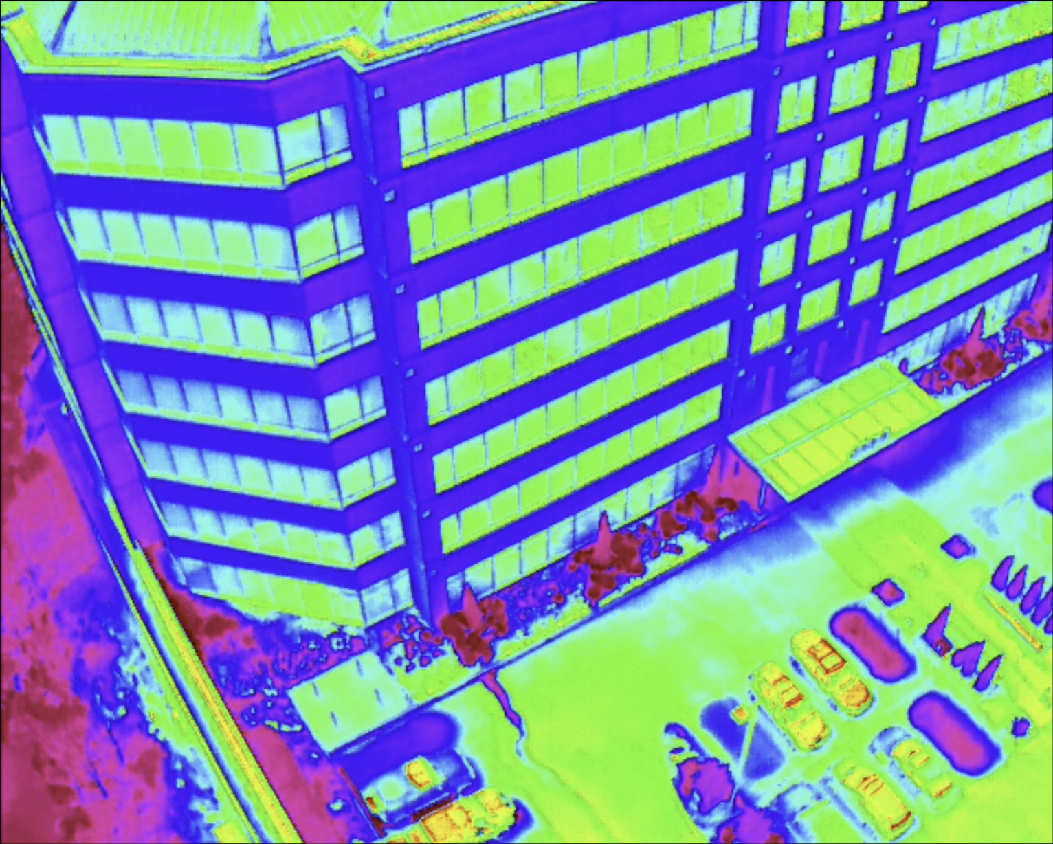
As energy costs continue to rise and sustainability becomes more essential to building operations, facility managers and property owners face increasing pressure to improve energy efficiency. For commercial buildings, energy inefficiencies often remain…
Read the story ↗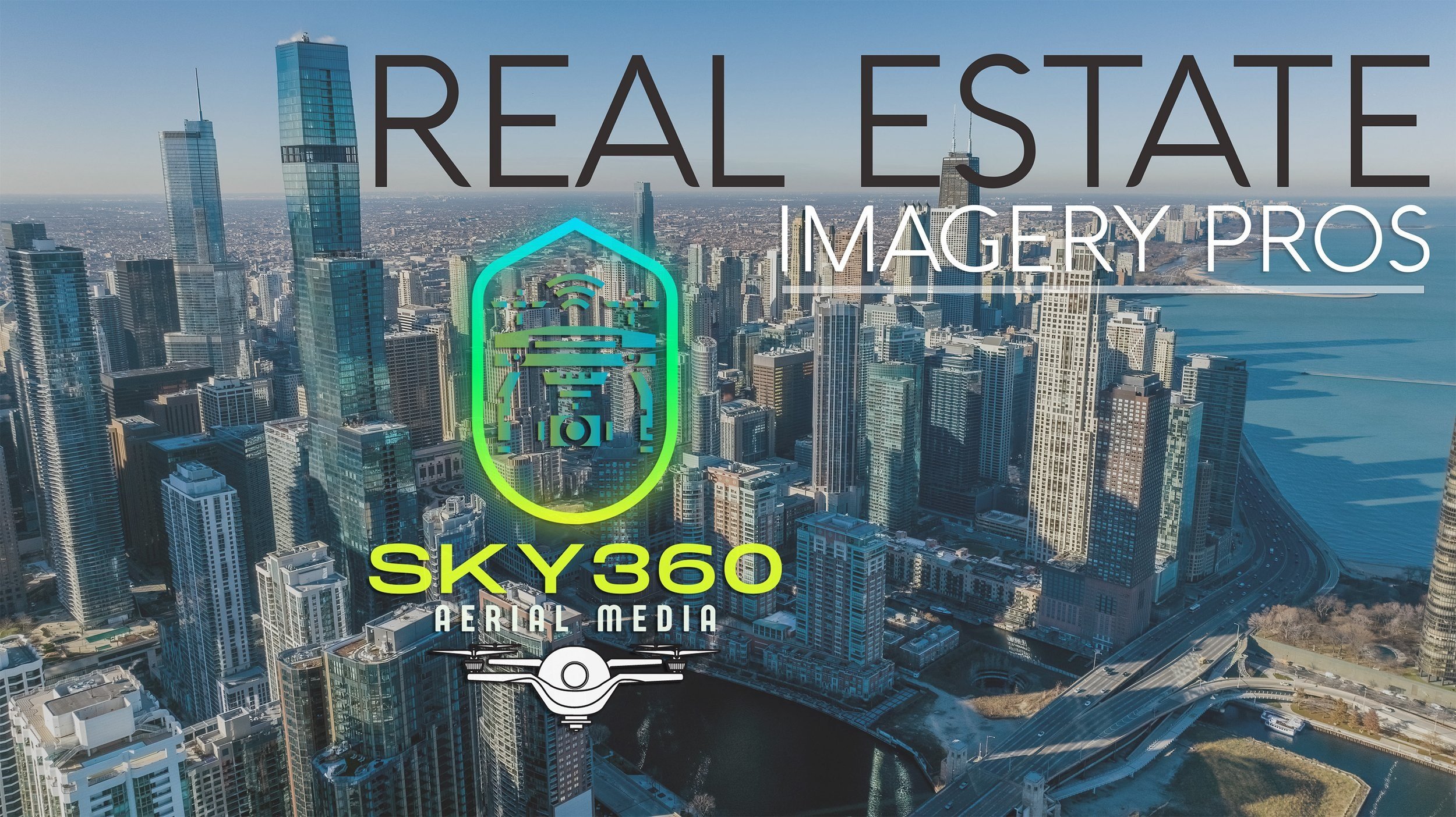
In today's fast-paced commercial real estate market, making a lasting impression is essential. Whether you're marketing a property for sale, leasing office space, or showcasing a new development, high-quality visuals can make all the difference in…
Read the story ↗06 / YOUR NEXT PERSPECTIVE
GEORGIA / AERIAL + GROUND IMAGING
Tell us about your property, site, or next production. We’ll help you find the right approach.
info@sky360aerial.com ↗Prefer email? Send your project details directly.